Glacier Fest: Austria Stubai & Ötztal – June 2016

Week 1: Stubai Glacier Route
For our first week we did most of the Stubai Glacier Route around Neustift & the Stubaital in Austria.
Day 1: Neustift to Franz Senn Hut (2147m)
We took the local taxi service to Oberissalm at the head of the valley and had an easy walk up to the Franz Senn Hut (2147m).
Ascent: 430m – Descent: 25m
Accommodation: www.franzsennhuette.at
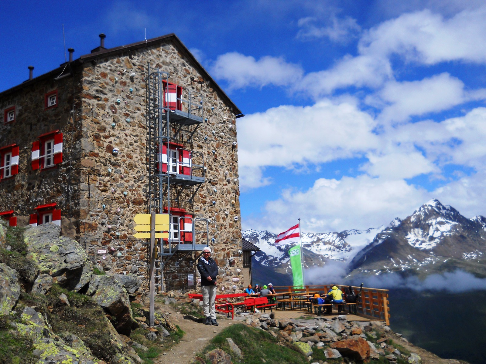
Day 2: To Amberger Hut (2135m)
A very foggy day on the glacier. We managed to avoid a bergschrund at the base of the normal via feratta route by going over the Wildgratscharte (3170m) col to the left, and only triggering a couple of small avalanches in the process. We didn’t have the time or inclination to do the Schrankogel due to the excessive fresh snow.
Ascent: 1145m – Descent: 1165m
GPX Route: www.haroldstreet.org.uk/routes/download/?walk=2787
Accommodation: www.ambergerhuette.at
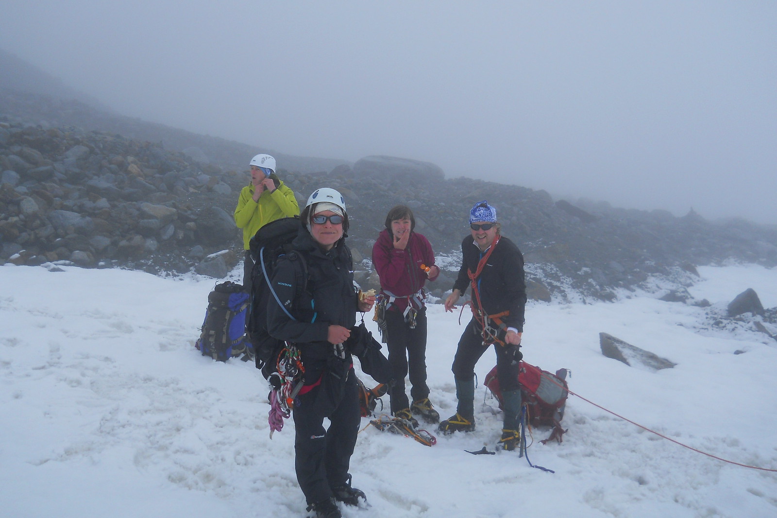
Foggy Glacier
Day 3: To Hoch Stubai Hut (3175m)
We crossed the Wütenkarsattle (3103m) in beautiful sunshine.
Ascent: 1140m – Descent: 125m
GPX Route: www.haroldstreet.org.uk/routes/download/?walk=2786
Accommodation: www.hochstubaihuette.at

Hoch Stubai Hut from Wütenkarsattle (3103m)
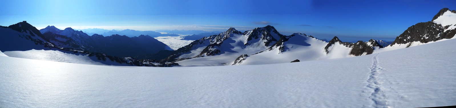
Day 4: To Hildesheimer Hut (2899m)
We ascended the Warenkarscharte (3186m) but were warned by a Guide that the avalanche conditions across the Warenkarferner were too dangerous. Instead we descended to a little restaurant at Windchalm (1950m) which was closed and then reascended to Hildesheimer Hut (2899m). A very long day.
Ascent: 1150m – Descent: 1415m
GPX Route: www.haroldstreet.org.uk/routes/download/?walk=2777
Accommodation: www.hildesheimerhuette.at

View from Warenkarscharte (3186m)
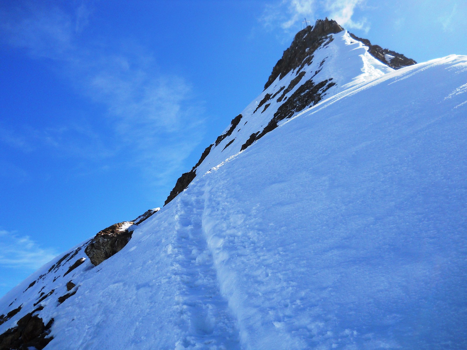
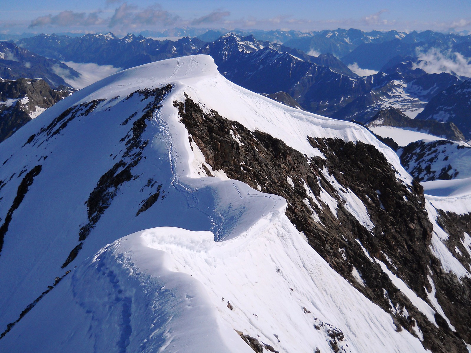
Day 5: To Müller Hut (3145m)
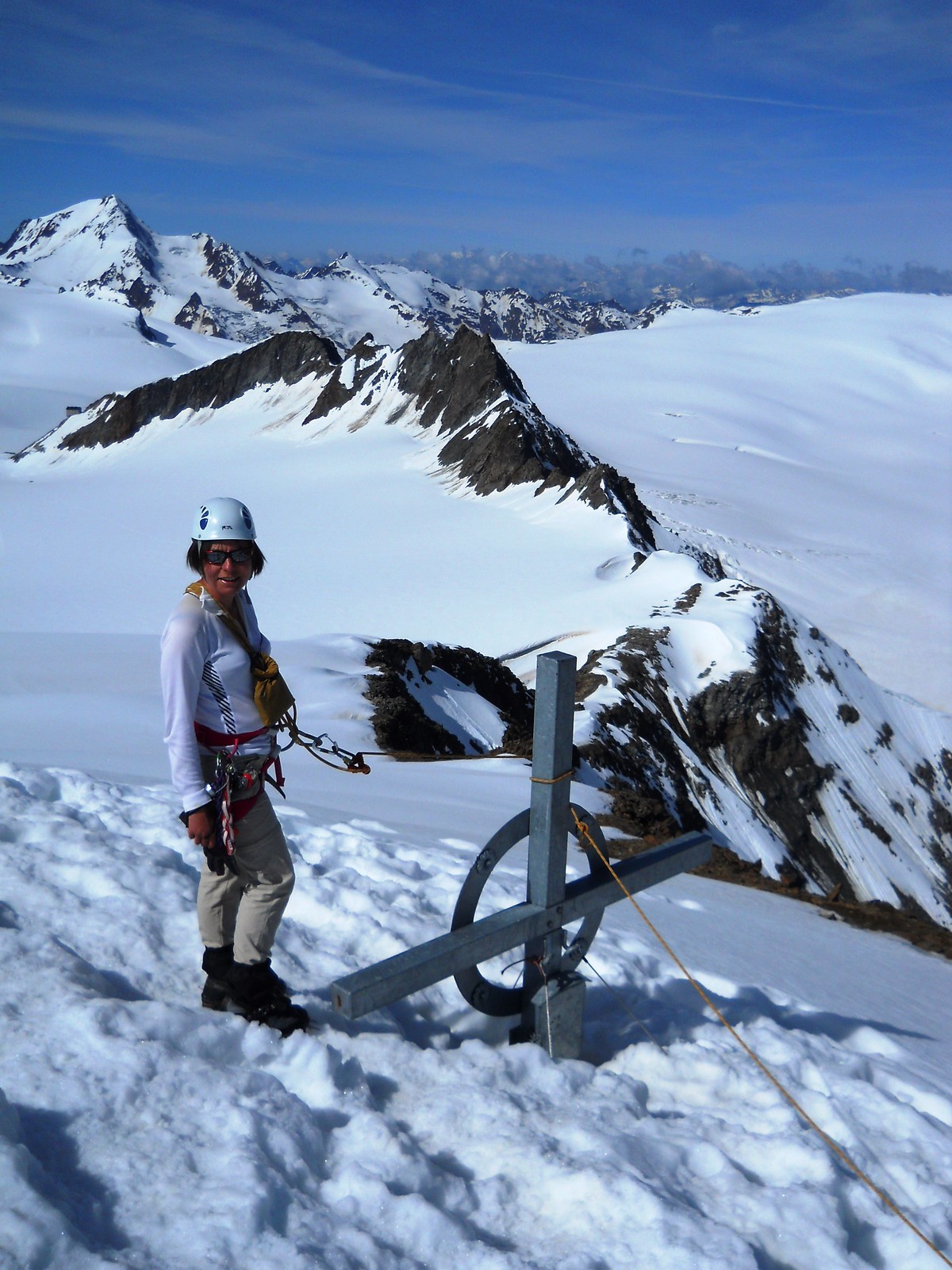
We crossed the Pfaffenjoch (3207m) and the Suzenauferner to ascend the Zuckerhütl (3507m) where we narrowly missed being struck by lightening. Then on to the Wilder Pfaff (3456m) with an airy descent via its South East ridge.
Ascent: 790m – Descent: 550m
GPX Route: www.haroldstreet.org.uk/routes/download/?walk=2778
Accommodation: www.müllerhuette.eu

Zukerhütl (right) & Wilder Pfaff (left)
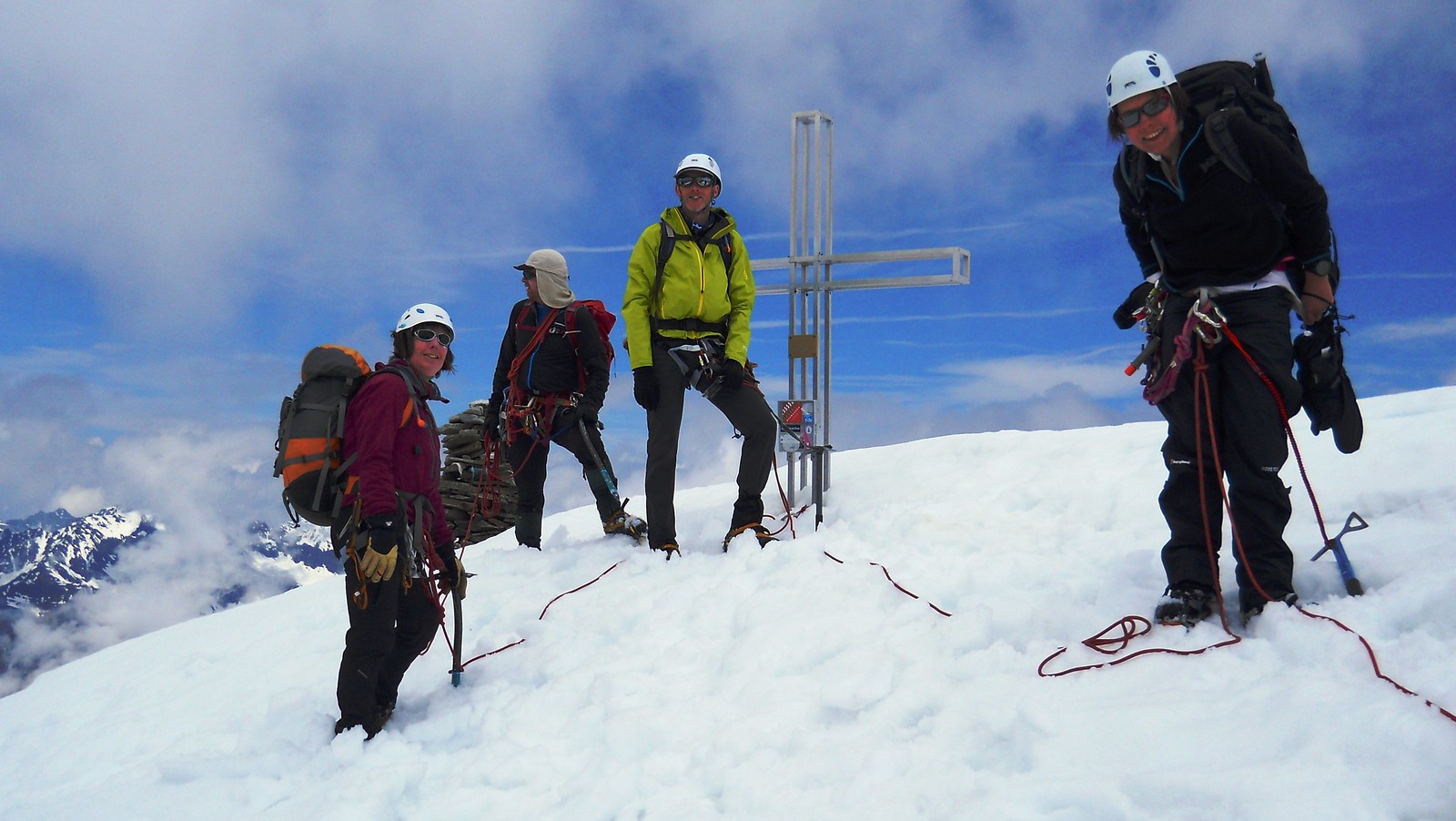
Wilder Pfaff Summit
Day 6: Down to Ötztal
We had originally planned to climb the Wilder Freiger (3519m), but due to slow progress with the deep snow decided to descend directly to Ötztal via the Schwarzwandscharte (3058m) and down to Timmeljock
Ascent: 100m – Descent: 1450m
GPX Route: www.haroldstreet.org.uk/routes/download/?walk=2779
Accommodation: Top Apart Gaislachkogel
Towards the Schwarzwandscharte (3058m)
Bond Girl?
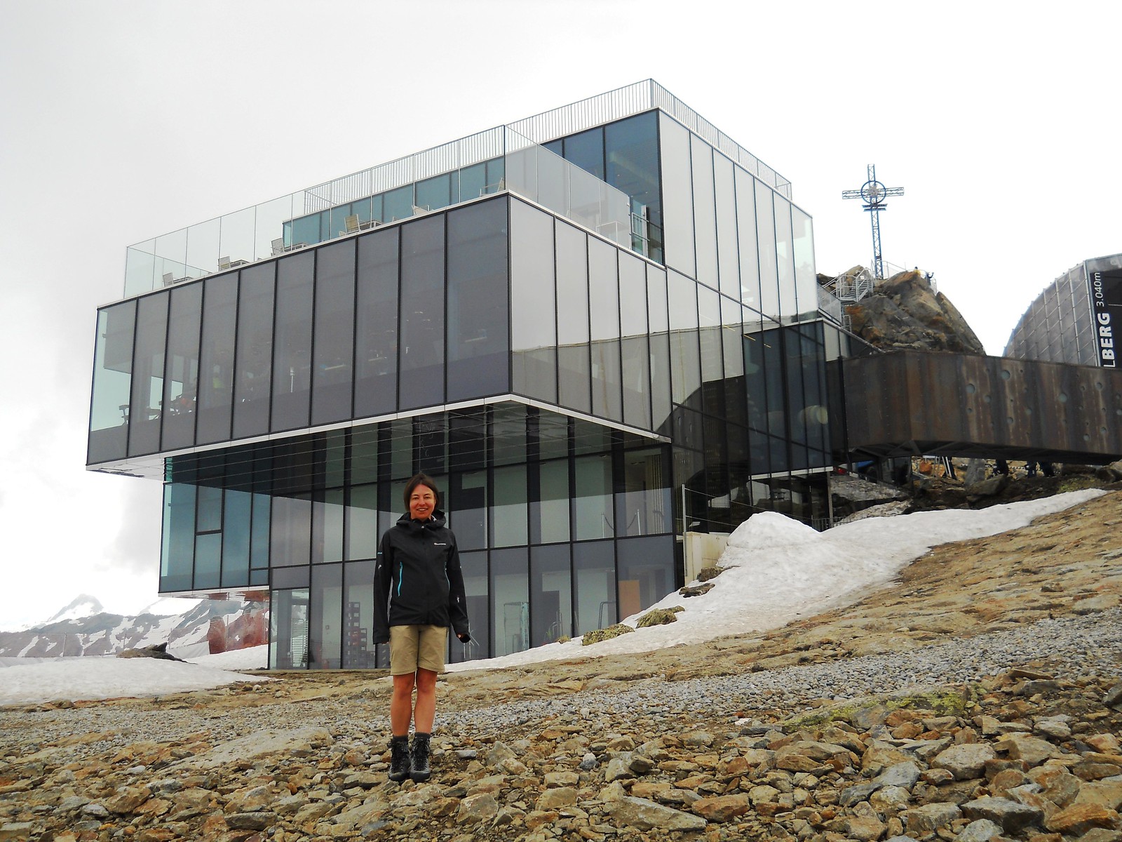
Day 7: Rest Day
We took a well earned rest day in Sölden, with a cable car trip up to Gaislachkogel 3056m and a walk down to the frozen heart-shaped Glaislachersee lake.
Week 2: Venter Glacier Route
Breslauer Hut
For our second week we had planned a tour of the Glaciers above Vent in Ötztal.
Day 8: Breslauer Hütte (2844m)
We took a bus to Vent then a chair lift and finally a walk up to the Breslauer Hütte (2844m)
Ascent: 480m – Descent: 0m
GPX Route: www.haroldstreet.org.uk/routes/download/?walk=2780
Accommodation: www.alpenverein.de/Breslauer-Huette
Day 9: To Vernagthütte (2755m)
We got a very early start to bag the Wildspitze (3768m) via the Mitterkarjoch (3468m) the second highest mountain in Austria. Then we returned to the Breslauer for lunch and walked round to the Vernagthütte (2755m).
Ascent: 1225m – Descent: 1310m
GPX Route: www.haroldstreet.org.uk/routes/download/?walk=2781
Accommodation: www.alpenverein.de/Vernagthuette
 |
 |
 |
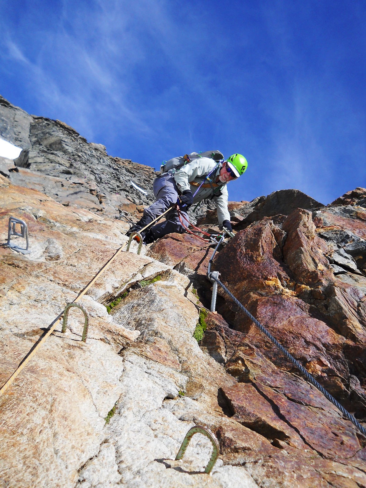 |
| Wildspitze Summit & Via Feratta | |||
Day 10: To Brandenburger Haus (3277m)
From the Vernagthütte (2755m) we ascended the Guslarferner and then the Fluchtkogel (3500m) on the way to the Brandenburger Haus (3277m)
Ascent: 804m – Descent: 304m
GPX Route: www.haroldstreet.org.uk/routes/download/?walk=2782
Accommodation: www.alpenverein.de/Brandenburger-Haus
Fluchtkogel (3500m) summit, with Brandenburger Haus (3277m) in the background
Day 11: A New Plan…
The original plan was to descend to Hochjoch-Hospiz (2413m), then go up to the Similaunhütte (3018m) and finish the trip by bagging the Similaun (3599m). However, the snow continued to be deep, soft and very slow going. We decided instead to drop back down to Sölden for some easier walking with a little more luxury.
Ascent: XXX – Descent: XXX
Accommodation: Top Apart Gaislachkogel

Descent to Vent from Brandenburger Haus (3277m)
Day 12: Wurmkogel & Hohe Mut
We bought a 3 day lift pass and had an easy days walking using the cable cars above Obergurgl.
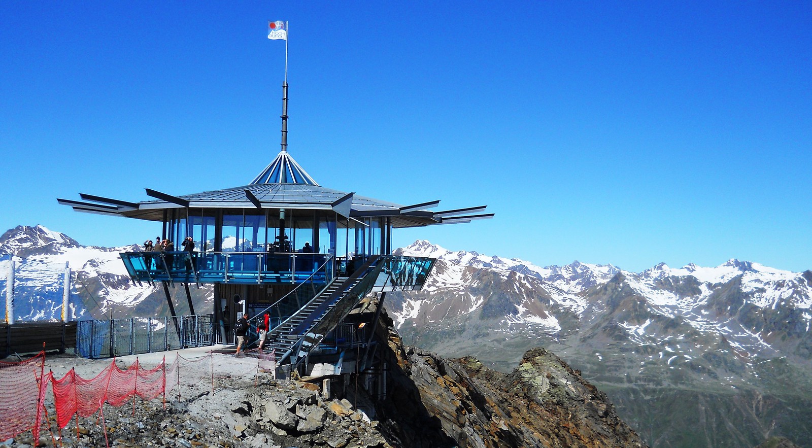
Wurmkogel summit
Ascent: XXX – Descent: XXX
Day 13: Innere Schwarze Schneide (3369m)
We took the glacier bus to the bottom of the Rettenbach glacier, climbed the Innere Schwarze Schneide (3369m) and descended steep via feratta to the top Tiefenbach Cable Car station for a lift back down to the bus stop.
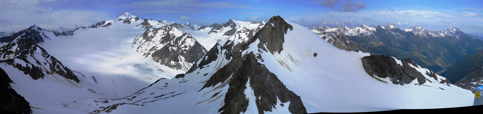
View from summit of Innere Schwarze Schneide (3369m)
Ascent: XXX – Descent: XXX
GPX Route: www.haroldstreet.org.uk/routes/download/?walk=2784
Day 14: Tourist stuff
The weather crapped out so we spent a final rest day mucking about on cable cars & busses making the most of our lift pass. On the way home we also spent a pleasant afternoon in a pond at Berlin Pride.
Some Useful Links
- Austrian on line maps: www.austrianmap.at
- Stubai Glacier Route: www.amazon.co.uk/Trekking-Stubai-Alps-Rucksack-Cicerone
- Zuckerhutl www.summitpost.org/zuckerhuetl
- Wilder Pfaff www.summitpost.org/wilder-pfaff
- Wildspitze www.summitpost.org/wildspitze
- Fluchtkogel www.summitpost.org/fluchtkogel
- Innere Schwarze Schneide www.summitpost.org/innere-schwarze-schneid
Author: Phil Newby
Leave a Reply