UK Area: Other...
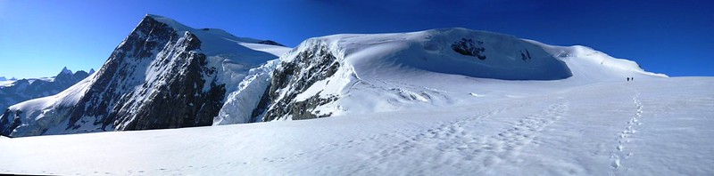
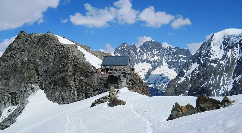
Details: Haute Route: Cabane des Dix - Cabane des Vignettes via Pigne d'Arolla.
Duration: 6.5hrs – Ascent: 970m – Descent: 760m
(Note: the start and end of this file are a GPX track recorded in the field, but the steep middle section is from an edited route as the GPS battery failed part way throught the day)
Weblink: http://www.haroldstreet.org.uk/other/glacier-fest-swiss-alpine-trip-june-2015/
Author: Phil Newby Type: route/track
The content of Members pages including their GPS files are copyright to the contributing Member
Any waypoints maked in Blue are included in the GPS file download.
The green icon marks the start point of the GPX Track or Route.
Other icons are not included in this file and only indicate nearby Hills & Trigpoints
Bagging 'Haute Route: Cabane des Dix - Cabane des Vignettes ' Route:
Walked this route? Log in to rate it, and tick it as completed...
Member's Comments on 'Haute Route: Cabane des Dix - Cabane des Vignettes ' Route/Track...
- Phil Newby says...
- Phil Newby says...
- Register... and Log In...
