Skip to content

Phil's Hiking Resources

Ordnance Survey Mapping at 1:50k and 1:25k


A few weeks ago we lost our Ordnance Survey Mapping, but today we’ve found another way of implementing the code and got it back!

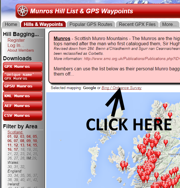
Above each map you will now see the following links…

mapping

Enjoy…


Author: Phil Newby

One response to “Ordnance Survey Mapping at 1:50k and 1:25k”

  1. Das says:

    Phew! The OS makes it a lot easier to pinpoint the hills. Thanks

Leave a Reply

Your email address will not be published. Required fields are marked *


The reCAPTCHA verification period has expired. Please reload the page.


Author: Phil Newby