Haute Route: Champex to Arolla June 2018
For this year’s trek, we decided to do our own variant of the classic glacier Haute Route, but missing out both the Chamonix and Zermatt ends.

Cabane d’Orny above the Glacier d’Orny (quite small, top right)
Day 1: Champex to Cabane d’Orny (2811m)
We took the Champex chair lift to La Breya, and did the short walk up to Cabane d’Orny (2811m).
Distance: 4km – Ascent: 700m
Accommodation: www.cabanedorny.ch
Cabane du Trient, above the Trient glacier plateau (quite small, middle left)
Day 2: Tour of the Glacier de Trient
Cabane d’Orny to Cabane du Trient (3170m); via Col des Plines South (3294m) and Fenetre de Saleinaz (3261m). Just a general reccy of the route for the following day and gentle acclimatisation.
Distance: 8.1km – Ascent: 500m – Descent: 500m
GPX Route: www.haroldstreet.org.uk/routes/download/?walk=3276
Accommodation: www.cas-diablerets.ch/trient.htm
Cabane de Saleinaz (you can’t miss this one)
Day 3: To Cabane de Saleinaz (2691m)
Cabane Trient to Cabane de Saleinaz via Col des Plines South (3294m). We had the whole cabane to ourselves – a fantastic but little known spot.
Distance: 6.6km – Ascent: 350m – Descent: 850m
GPX Route: www.haroldstreet.org.uk/routes/download/?walk=3277
Accommodation: www.cas-neuchatel.ch/cabanes/cabane-de-saleinaz-2691m
Col de Cret Seche (W) viewed from Col des Essettes, with the Grand Combin in the backgound.
Day 4: The Three Cols Route: Cabane de Saleinaz to Cabane l’A Neuve:
We took the spectacular glaciated “Three Cols Route” from Cabane de Saleinaz to Cabane l’A Neuve (2735m):
- Col #1 – Col des Planereuses (3030m)
- Col #2 – Col Supérieur de Crête Sèche (3024m)
- Col #3 – Col des Essettes (3113m)
but as l’A Neuve wasn’t open this early in the season, we carried on down to La Fouly.
Distance: 14.6km – Ascent: 600m – Descent: 1700m
GPX Route: www.haroldstreet.org.uk/routes/download/?walk=3278
Accommodation: www.mayajoie.ch

Col des Planereuses (right) and Col de Cret Seche west (left) on the “Three Cols Route”
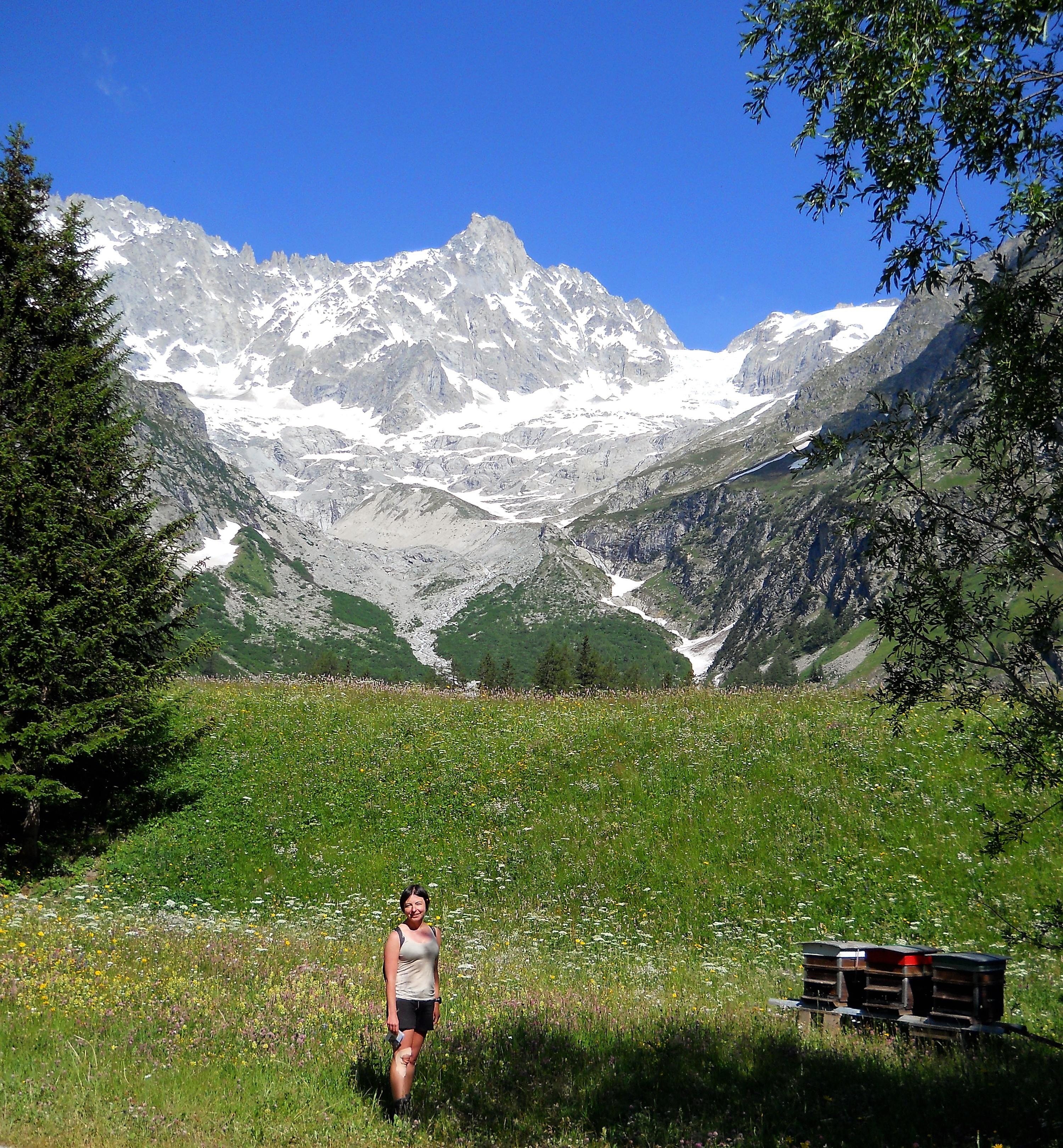
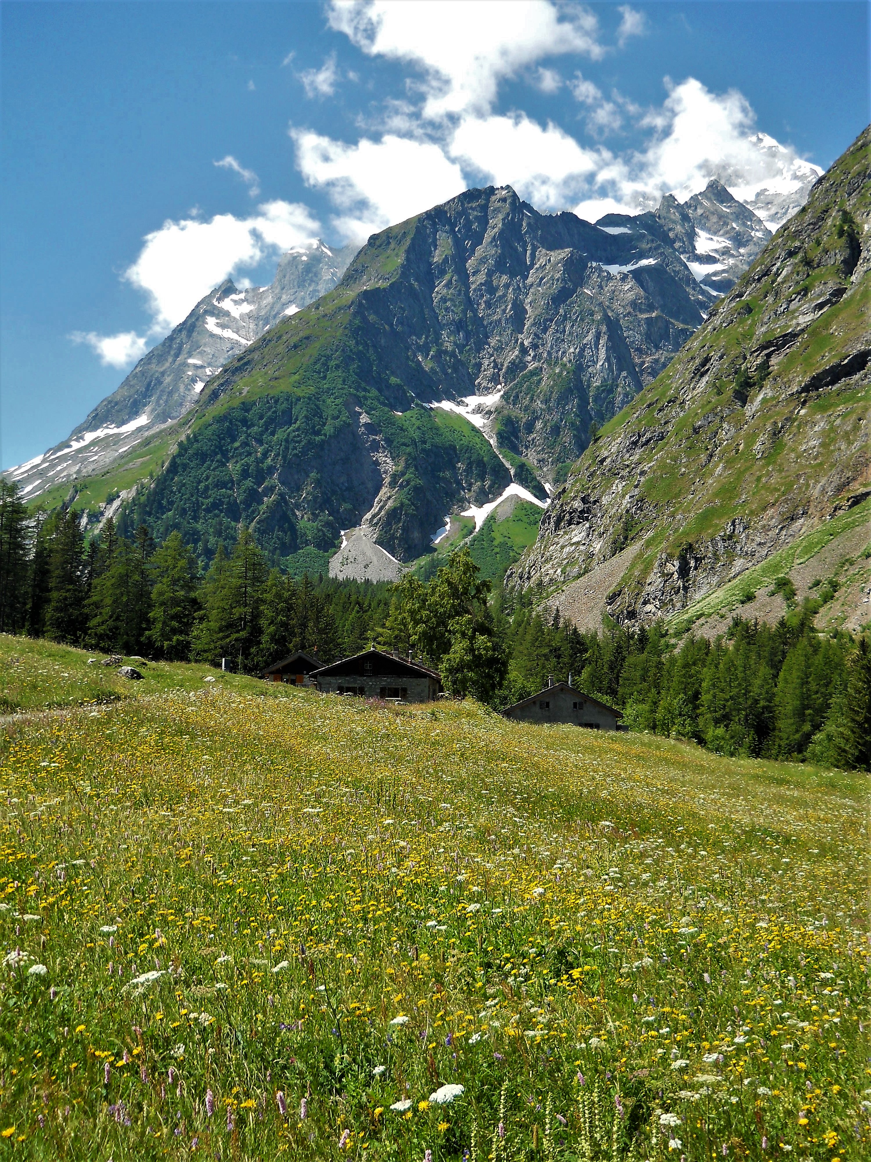
Day 5: Rest day in La Fouly (1592m)
We had a beautiful rest day in the La Fouly and Val de Ferret, spotting wild flowers and eating obscene amounts of cheese.
Accommodation: www.mayajoie.ch
 La Fouly’s flowers, |
 more flowers, |
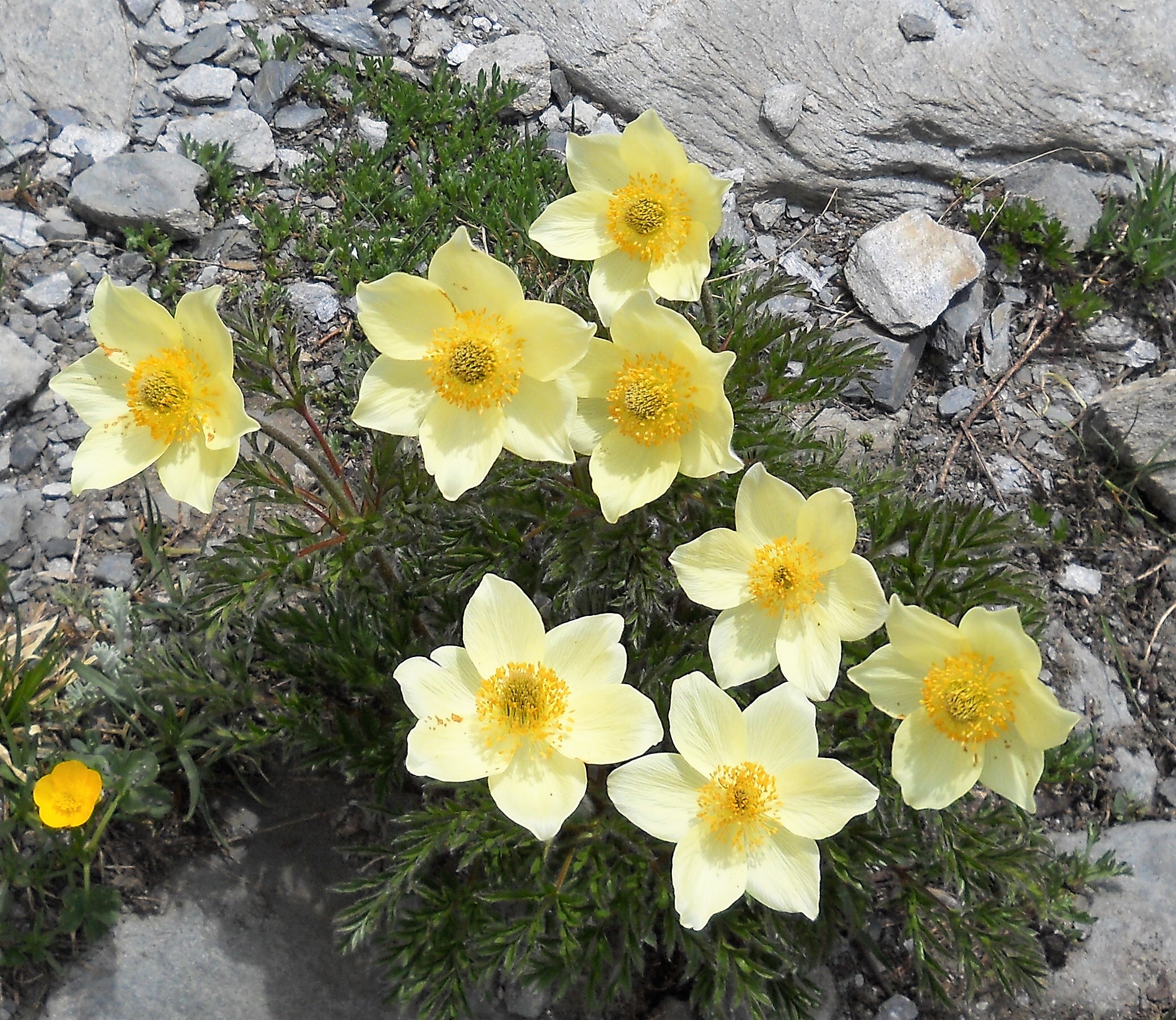 even more flowers, |
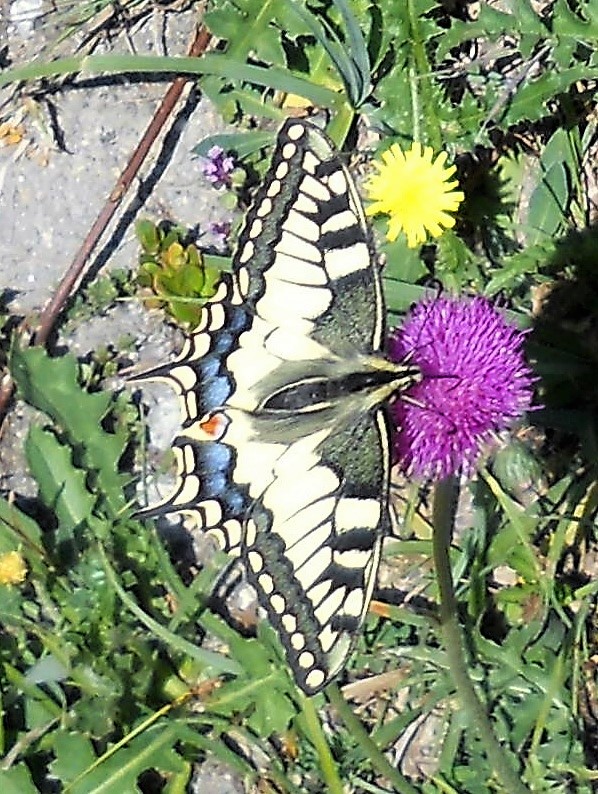 and butterflies too |
Day 6: to Bourg Saint Pierre (1632m)
A long day from La Fouly to Bourg Saint Pierre, via Lacs de Fenetre and Col du Bastillon (2757m).
Distance: 23.4km – Ascent: 1250m – Descent: 1300m
GPX Route: www.haroldstreet.org.uk/routes/download/?walk=3279
Accommodation: www.hotel-du-cret.ch

Grand Col du Saint Bernard
Day 7: Another rest day…
Just because we could ;-). We visited the desolate village of Liddes by mistake, and the touristy Col du Grand St Bernard (2458m) by bus.
Accommodation: www.hotel-du-cret.ch
Mont Blanc massif in background – click for our “3 cols route” detail…
Day 8: to Cabane Brunet (2103m)
A long day from Bourg St. Pierre to Cabane Brunet, via Col de Mille (2473m). We had intended to stay at the Cabane de Valsory (3037m), and go over Col du Meitin (3622m) and the Corbassiere Glacier the following day, but unfortunately the weather forecast was not particularly convincing for us to risk it. We also considered Col de Lane (3037m) too, but were far too lazy in the heat.
Distance: 20.6km – Ascent: 1300m – Descent: 850m
GPX Route: www.haroldstreet.org.uk/routes/download/?walk=3280
Accommodation: www.cabanebrunet.ch
Grand Combin from Cabane FXB Panossiere
Day 9: to Cabane FXB Panossiere (2645m)
A short day from Cabane Brunet to Cabane FXB Panossiere via the new Corbassiere suspension bridge. Beautiful views of the Corbassiere Glacier.
Distance: 7.4km – Ascent: 700m – Descent: 175m
GPX Route: www.haroldstreet.org.uk/routes/download/?walk=3281
Accommodation: www.cabane-fxb-panossiere.ch
Cabane de Chanrion
Day 10: to Cabane de Chanrion (3282m)
A long cloudy day from Cabane FXB Pannoserie to Cabane de Chanrion, via Col des Otanes (2846m) and the massive Mauvoisin Dam (1976m).
Distance: 18.9km – Ascent: 1000m – Descent: 1200m
GPX Route: www.haroldstreet.org.uk/routes/download/?walk=3282
Accommodation: www.chanrion.ch
 Col du Mont Rouge |
 Steep old cornice at the top of Col du Mont Rouge |
Day 11: to Cabane des Dix (2928m)
Cabane de Chanrion to Cabane des Dix via four cols route:
- Col de Tsofeiret (2628m),
- Col de Lire Rose (3115m),
- Col du Mont Rouge (3326m) – a little bit of old cornice for excitement
- and Col de Cheilon (3237m) via the Gitro glacier.
Distance: 11.2km – Ascent: 1000m – Descent: 500m
GPX Route: www.haroldstreet.org.uk/routes/download/?walk=3283
Accommodation: www.cabanedesdix.com
 Pas de Chevre Ladders |
 Cabane des Dix (top middle) at sunrise |
Day 12: to Arolla (2928m)
Unfortunately the weather had another blip and was forecast bad for that afternoon and the following morning. So instead of doing the Pigne d’ Arolla and going on to Cab. Vignettes, we dropped down to Arolla via the exciting Pas de Chevre ladders, for an afternoon and evening of a luxury en-suite instead.
Distance: 9.5km – Ascent: 200m – Descent: 1200m
GPX Route: www.haroldstreet.org.uk/routes/download/?walk=3284
Accommodation: www.latza.ch
 Cab Bertol… |
 ladders… |
 more ladders… |
 Cab Bertol.. |
Day 13: to Cabane Bertol (3311m)
The forecast was true to its promise, and worse. Despite missing the next section Cab. Vignettes to Cabane Bertol via Col de l’Évêque (3386m), we had a foggy and damp day ascending to the Cabane Bertol, and their legendary ladders of significant length and steepness.
Distance: 9.7km – Ascent: 1400m – Descent: 100m
GPX Route: www.haroldstreet.org.uk/routes/download/?walk=3285
Accommodation: www.bertol.ch
The view of the Matterhorn & Dent d’Herens from Tete Blanche
Day 14: to Tete Blanche (3,710m) then back to Arolla
The effort was well worthwhile, as our final day was crossing the Glacier du Mont Mine to Tete Blanche in beautiful sunshine. Then we returned to Bertol to go back down to Arolla.
Distance: 22.4km – Ascent: 700m – Descent: 2100m
GPX Route: www.haroldstreet.org.uk/routes/download/?walk=3286
Accommodation: www.latza.ch

Cabane Bertol again (we really just can’t get over this amazing place)
Pigne d’Arolla viewed from Cabane Bertol at dawn
Many more photos of this trip are to be found here…
https://www.flickr.com/photos/phil-heather/sets/72157698645313924/
Useful links
- 3 cols route – https://www.camptocamp.org/routes/1012066/fr/traversee-saleina-greater-a-neuve-par-les-3-cols
- 3 Cols route – http://www.passionrando.fr/pages/rando.php?rub=rando74
- We also did a similar trip in 2015, the details of which you can find below…
/other/glacier-fest-swiss-alpine-trip-june-2015/
Author: Phil Newby
Leave a Reply